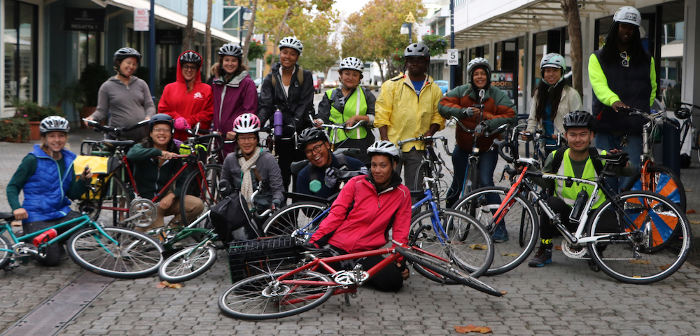
Richmond Bicycle Plan Premiere!
Join members of the Bicycle Coalition as we review the Final Draft of Richmond’s first Bicycle Master Plan.
Snacks Provided. For more information, contact Kieron Slaughter, Richmond Planning Division, Phone: 510.620.6887 or by email at kieron_slaughter
Richmond is in the process of developing a city-wide bicycle and pedestrian plan that will be incorporated into the new revision of the City’s Master Plan. Fehr & Peers, the consultants, have created a very useful interactive map to which you can add your public input. Using the convenient icons, you can suggest such things as places for bike racks and appropriate streets for bike lanes, as well as pointing out hazards and difficult traffic conditions.
Anyone can contribute; it is not necessary to be a Richmond resident. Draft Richmond Bicycle & Pedestrian Plan. Click on Bicycle Master Plan and then on the link to the Interactive Mapping Tool/Community Map.
We also encourage your participation at our monthly meetings, normally on the second Monday of the month. Check the BPAC home page for confirmation. Creation of the bicycle/plan is the major focus of the committee’s work for the next year.
The City of Richmond needs your input and ideas for making Richmond a bicycle-friendly city and improving safety for cyclists on our roads. The Richmond Strategic Bicycle Plan is due for completion by October, 2010. Please tell us about places you like to bike to and issues that make it difficult to bike there safely & comfortably. Ways to get involved:
Submit a comment or question to: Joe Light, City Planner (510) 620-6703
Attend an upcoming Richmond BPAC meeting: Richmond BPAC
Richmond Bay Trail Update: August 18, 2010

from Bruce Beyaert, TRAC Chair
Friends of the Bay Trail in Richmond,
The buzz of excitement is growing as elegant Ferry Point Loop Trail Guides begin appearing in western Contra Costa County mail boxes. Kudos to Richmond Sanitary Services owned by Republic Services for enclosing the trail guides with the quarterly bills sent out to their 56,000 residential and commercial customers.
When the trail guide arrives at your home, take it with you to enjoy this seven mile loop of the San Francisco Bay Trail on foot or by bicycle. Although design and construction projects are underway to close gaps, the route is accessible with the exeception of the shoreline link between Shipyard 3 Bay Trail and Brickyard Cove Road.
Click here to learn about the design and construction projects now underway to close the final gaps in the Ferry Point Loop. For example, the Port of Richmond, Auto Warehousing Company and Transdevelopment Group have begun developing the Shipyard 3 Bay Trail as part of the Honda Port of Entry Project, and the City of Richmond’s Engineering Services Dept. is designing two new trail sections between Shipyard 3 and Ferry Point. Moreover, East Bay Regional Park District’s Board of Directors recently appropriated over $1million for improved access to the mile long western shore of Miler/Knox Regional Shoreline between Keller Beach and Ferry Point.
Profound thanks to David Moore
————————————–
Bruce Beyaert, TRAC Chair


